Where are we located?
The Cornish Inn is located in Cornish Maine, 55 minutes west of Portland (route 95, route 1), on Route 25. We are located 45 minutes southeast of North Conway (take route 302 to Fryeburg, then route 113 to Cornish, then Route 25), or 30 minutes from the Maine summer camp hotspots near Sebago Lake, Bridgton and Naples Maine.
about modern day cornish (click here for the history of cornish)
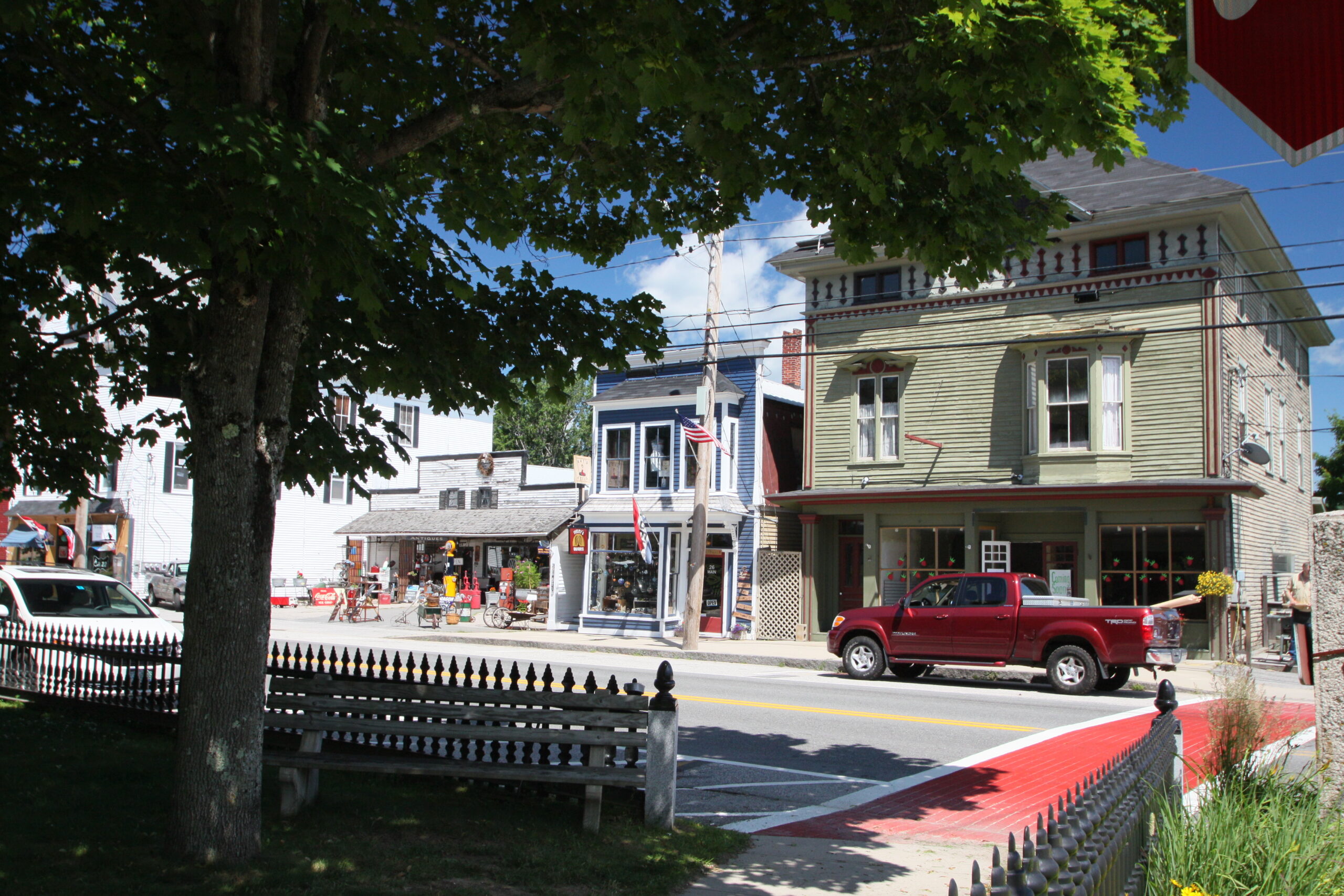
Modern day Cornish has continually been selected as a best place to live, visit and is also known for its stunning views. It is located on Route 25, halfway between the coast of Maine, and the White Mountains of New Hampshire, making Cornish the perfect resting spot. You can also access the lakes and summer camps of Western Maine's 'Lakes & Mountains' region while staying with us. The town has two beautiful shady parks known as historical landmarks Thompson Park and Eagle Park, many antique stores, herbalist, florist, yoga studio plus many other stores that offer fine art, crafts, toys, jewelry and more. The town is conveniently located for access to both the Saco and Ossipee rivers, perfect for swimming, lazy river floating and boating, as well as Sebago Lake, Burnt Meadow Mountain, and many miles of snowmobile, hiking, walking and biking trails. We also have a charming local library just across the way from us here at the Inn. Our sweet little town is also well known for several fantastic restaurants, including Lindsay's Kitchen at The Cornish Inn (scratch kitchen, breakfast, lunch, and dinner), Krista's Restaurant (reservations recommended), Bay Haven Lobster Pound (fresh seafood), and Fairground Pub (greek and american cuisine). The town hosts a free live music series in the summer at the fairgrounds track along with several opportunities to try out the local food trucks. Personal transportation is required to visit Cornish, as there is no local public transportation.
History of the founding of Cornish
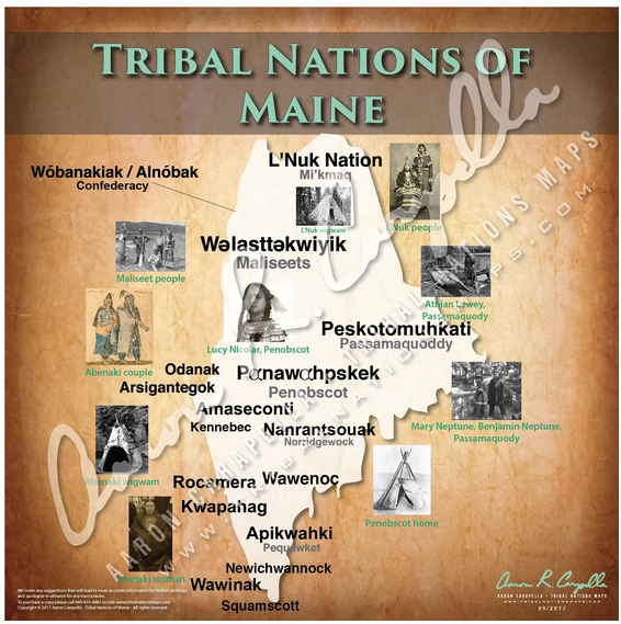
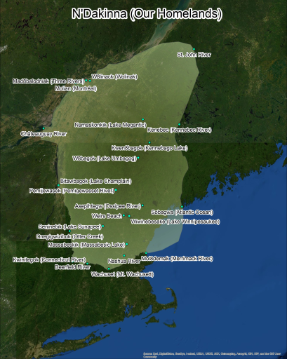
Various indigenous groups have lived in the area now known as Maine for over twelve thousand years. Generally, the peoples living in the area can be referred to as Penacook Abenaki and eastern Algonquin, and currently of the Wabanki Confederacy. It is important to note that many of the various names referred to here, which have been passed down to our modern time, primarily refer to places that were under stewardship of a group at the time, and are more reflective of European perceptions of division of ownership, than actual clear geographic divisions between peoples that existed at the time.
The modern town of Cornish is located on the path of the Pequawket Trail. The word “Pequawket” (sometimes spelled Pigwacket) is believed to mean ‘sandy land’. Indigenous families traveled the trail seasonally between what is now known as Biddeford Pool on the ocean, and the Mount Washington Valley. Those who lived in this area were members of the highly respected Tortoise Clan (also referred to as Newichewannock) of the eastern Algonquins (also known today as Abenaki, whose descendants are part of the Wabanaki confederacy).
During the 1600s French fur traders (Acadians) bartered with the Indigenous peoples. The first European settler in the Cornish Area was a British fur trader named Francis Small who arrived in 1665 (lived from 1625-1714). He found the area to be a lucrative location for trading. It is located near the confluence of the Ossipee and Saco Rivers (in modern day Hiram), as well as the meeting of the three indigenous trails (now Route 5, Route 25, and Route 113).
British colonizers from the area known as Massachusetts, in attempting to settle in the area, did not respect the sovereignty or humanity of the people already living here. They referred to those people as savages, abused trade deals, and eventually destroyed the great settlement at the confluence of the two rivers. Maine was the first state in which government payments for scalps was a normalized practice. Eventually some members of the group living near the two rivers marched on the home of Small and burned it to the ground. However, a Sagamore referred to as Captain Sunday, (Wesumbe) warned Small and saved his life. He later traded a tract of land with Small part of which became Cornish
This trade is what is known as the Ossipee Tract, and includes the modern day towns of Limerick, Cornish, Limington, Newfield, Parsonsfield and Shapleigh. In exchange Small gave two gallons of rum, two pounds of gunpowder, two blankets, four pounds of musketballs, and twenty strings of beads, for 256,000 acres.
The land was not settled by Europeans until after the signing of the Treaty of Paris, in 1763.
.In the 1770s Small’s heirs discovered the deed from Captain Sunday (Wesumbe) and came to populate the land and sell it off. The town of Limerick was given to their attorney as his fee.
During the 1700s, the village that grew up was first called Francisborough, then Cornishville. The town center was originally located on the High Road and the town was incorporated as Cornish in 1794. Maine became a state in 1820. A stage route was established along Main Street arrived in 1846. Victorian and Colonial homes were built along Main and Maple Streets and, between the years 1850 and 1860, teams of 80 oxen moved many homes down from the High Road to where the town center is today. It took 160 oxen to haul one house over the icy Saco River from the banks of Baldwin. The Cornish Inn was built in 1827 as a private home, less than 40 years after the official settlement of Cornish. The population of Cornish today is less than 1500 people, roughly the same as it was at its settlement.
Most of the history of Cornish was lost in a fire. This has been compiled from the works of authors and researchers Addie Small, Dr. William Teg, G.T. Ridlon Sr., Michael Chaney, the Cornish Historical Society, Wabanaki Reach, John Stuart Barrows, and Lisa Brooks.
Please Note: If you have information you would like to share with us about the history of this area, please get in touch!
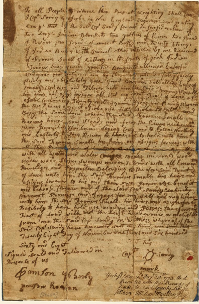
Above is the original trade paper for the Ossipee Tract, with the Tortoise signature of the Sagamore, Captain Sunday (Wesumbe)
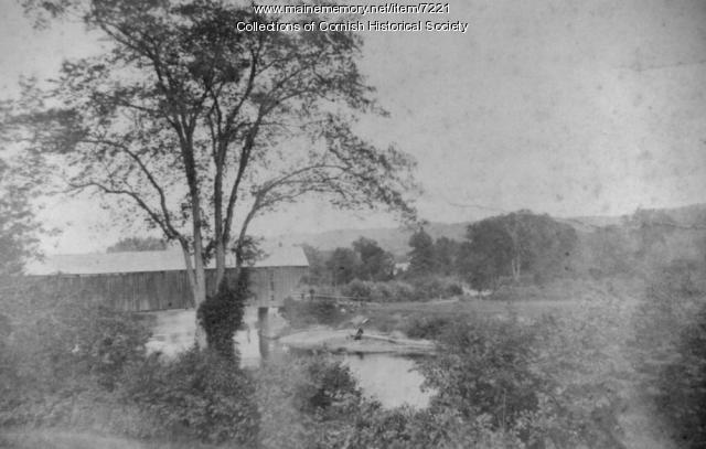
Covered Bridge between Hiram and Cornish, around 1900
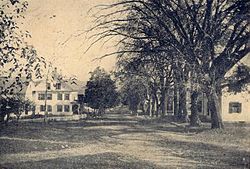
Downtown Cornish, 1910 above
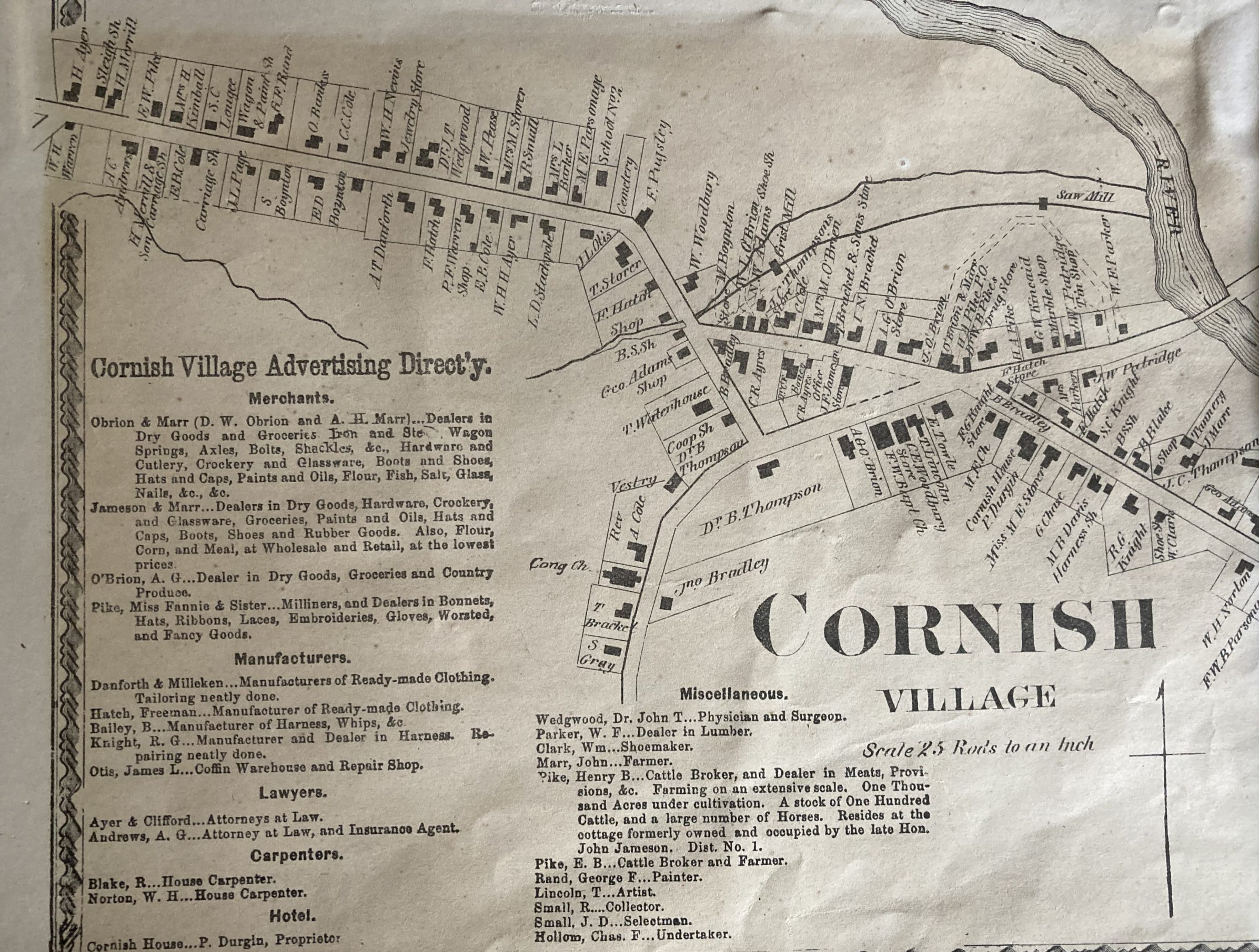
Map of Cornish from the 1870s
